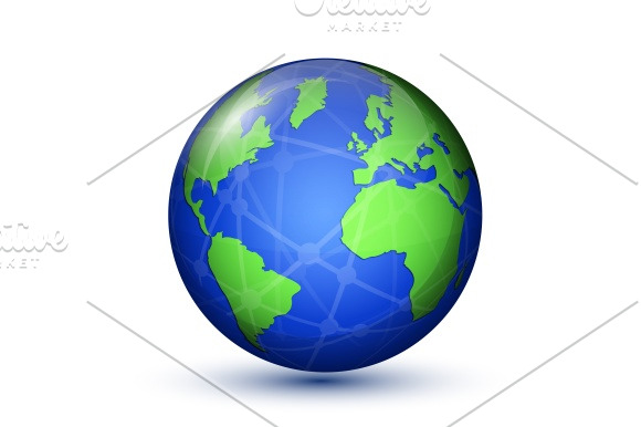
Earth planet. World Map
in Graphics / Illustrations
DOWNLOAD NOW Report
87
0
YOU MAY ALSO LIKE:


North and South America. Africa Europe. World Map. Vector illustration
**Contents:**
- **EPS** file included. 100% fully editable vector graphic.
Can be recomposed with vector editing software.
- **JPG** file included. High-resolution preview (25,0 megapixels, 5001x5001 pixels) exactly matches the vector EPS file. No transparency support.
**Contents:**
- **EPS** file included. 100% fully editable vector graphic.
Can be recomposed with vector editing software.
- **JPG** file included. High-resolution preview (25,0 megapixels, 5001x5001 pixels) exactly matches the vector EPS file. No transparency support.
| Compatible with: | Adobe Illustrator |
| File Type: | JPG, EPS, PNG |
| File Size: | 10.9 MB |