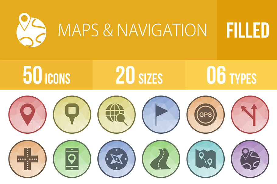
50 Maps & Navigation Low Poly Icons
in Graphics
DOWNLOAD NOW Report
156
2
**50 Maps & Navigation Low Poly Icons**
Suitable for: Mobile Apps, Websites, Print, Presentation, Illustration, Templates
Features:
- Ready to use for all devices and platforms
- 6 Different formats: AI, CDR, EPS, JPG, PNG, SVG
- Designed using unigrid system
- Each Maps & Navigation icon is designed for maximum usability
- 100% vector icons – Easy to edit and scale
- 20 PNG Sizes
50 Icons:
- Marker I
- Marker II
- Marker III
- Destination on Map
- Distance
- Document Location
- Explore
- Find Direction
- Find Location
- Find
- Flag I
- Flag II
- Flag III
- Globe I
- Globe II
- GPS I
- GPS II
- Left Arrow
- Right Arrow
- Left Turn
- Right Turn
- Left Turn Ahead
- Linked Road
- Locate on Earth
- Locate on Mobile
- Location Found
- Locations Marked on Earth
- Maps I
- Maps II
- Marked Destination
- Marked Location
- Marked on Map
- Marked
- Compass
- Compass Pointing East
- Compass Pointing West
- Pointer I
- Pointer II
- Road
- Route I
- Route II
- Route on Map
- Street Signs I
- Street Signs II
- Street Signs III
- Target Location I
- Target Location II
- Two Way Road
- World Location
- World
20 PNG File Sizes:
1. 16×16
2. 24×24
3. 29×29
4. 32×32
5. 40×40
6. 48×48
7. 58×58
8. 64×64
9. 72×72
10. 76×76
11. 80×80
12. 96×96
13. 120×120
14. 128×128
15. 144×144
16. 152×152
17. 192×192
18. 256×256
19. 512×512
20. 1024×1024
Hope you like our iconset!
| Compatible with: | Adobe Illustrator, Sketch |
| File Type: | AI, JPG, EPS, PNG, SVG, CDR |
| File Size: | 30.61 MB |
| Dimensions: | 1024 x 1024 px |
| DPI: | 72 |


