15x Maps of Europe
in Graphics / Illustrations
DOWNLOAD NOW Report
176
2
YOU MAY ALSO LIKE:


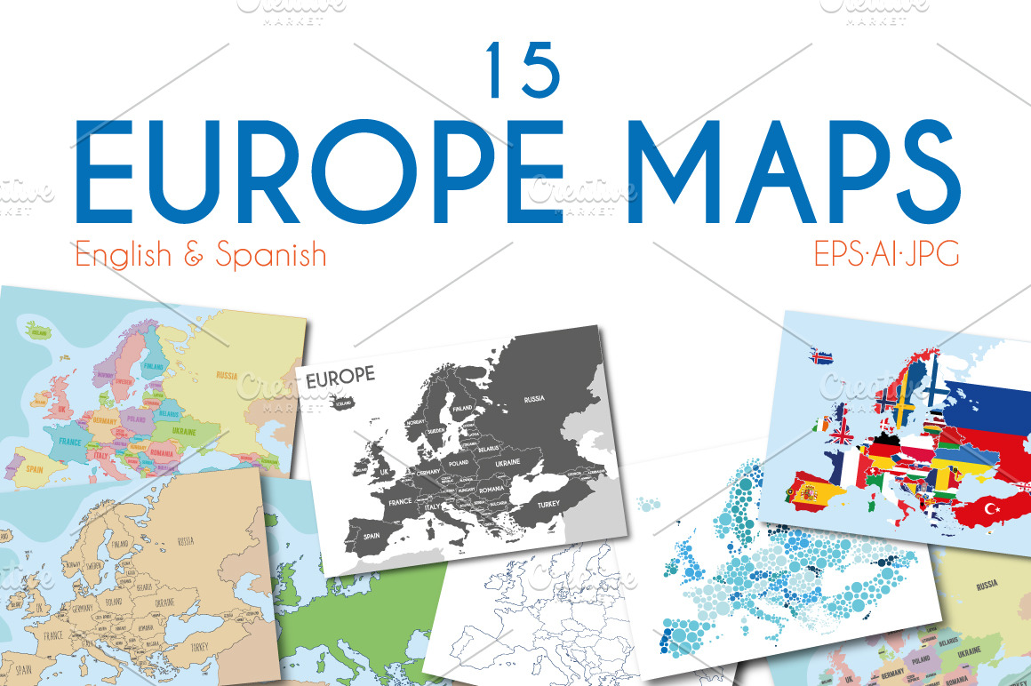
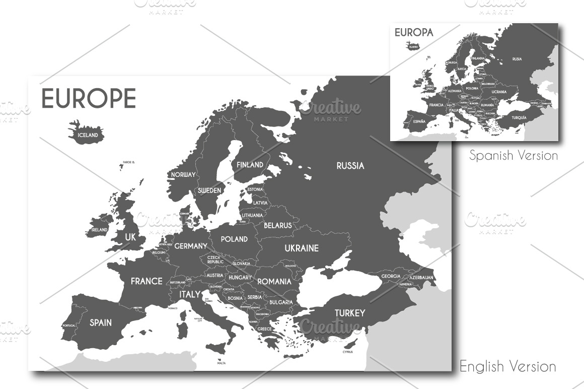
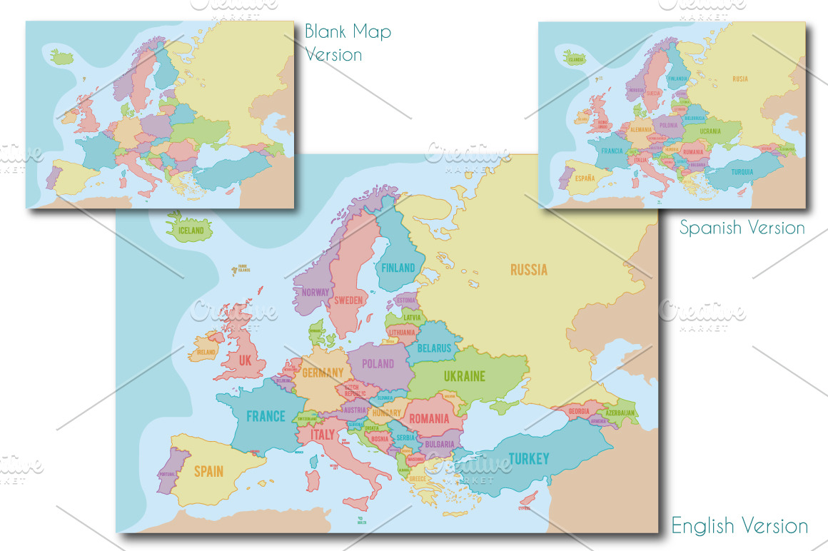
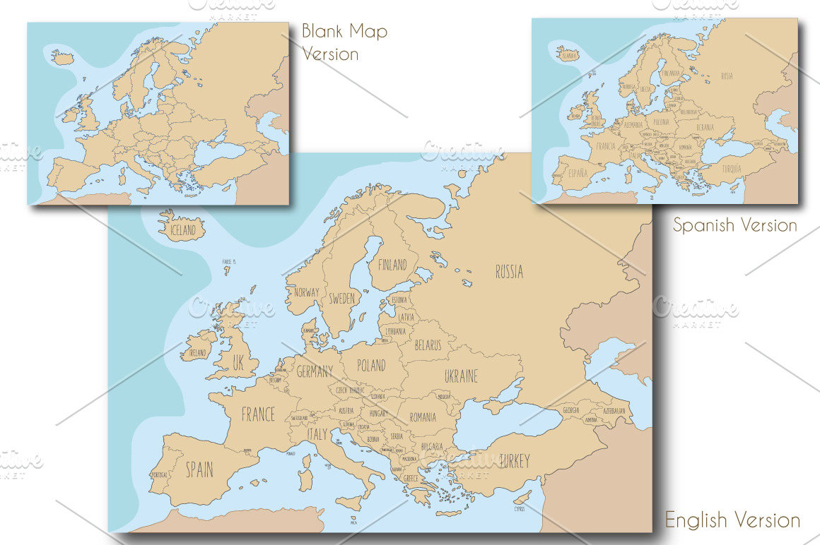
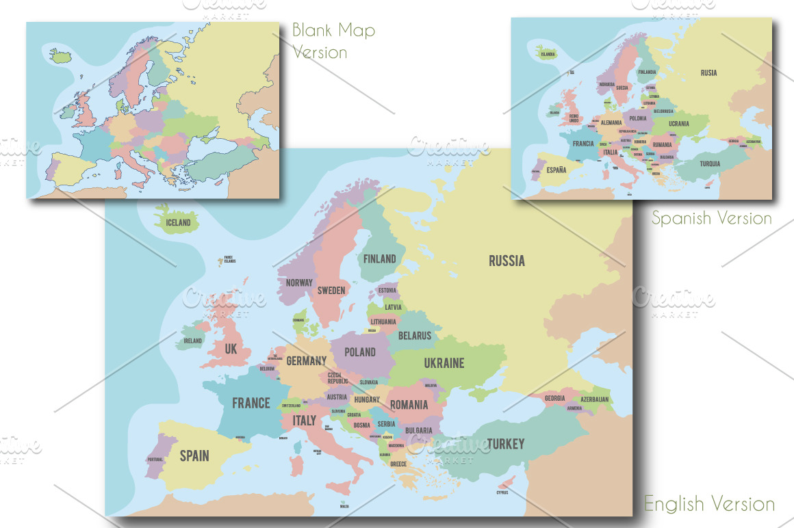
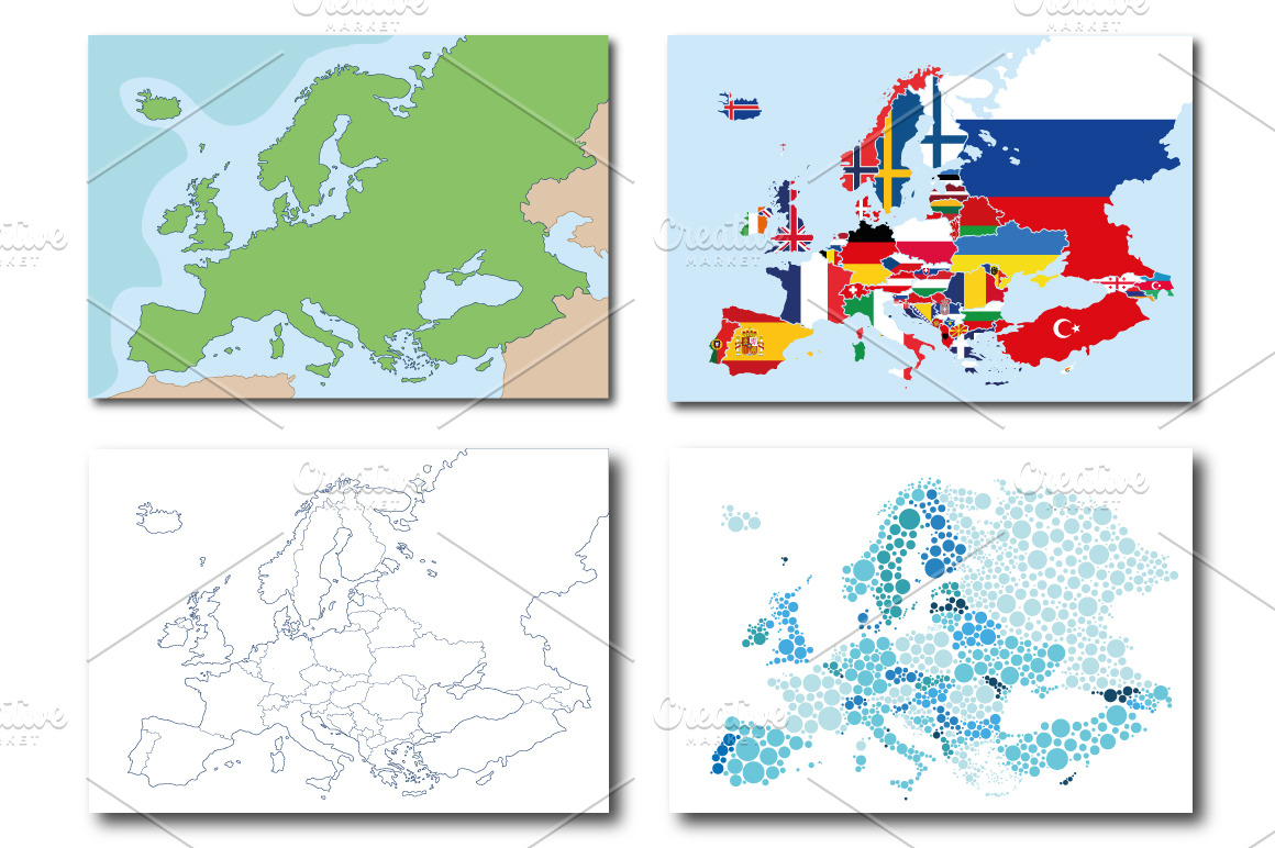
Set of 15 Europe Maps in different styles, including political and geographical versions. Maps are provided in english and spanish versions, and in blank version too. **You can see all the maps included in the previews.**
Perfect for decorate a room or a space in our home, or for decorate an office or similar. Ideal for educational purposes too!
Very easy to work and infinitely scalable, because it's all in vector shapes.
The pack comes with 15 EPS 10 compatible and editable and 15 AI10 files, which you can edit and use for any purpose. All the elements are vectors and they are separated in groups & layers for easy editing in Illustrator or similar software.
The file includes:
- 15 AI10 (one for each map)
- 15 EPS10 (one for each map)
- 15 JPG HI Res (10735 x 7500) (one for each map)
I hope you enjoy this article!!
P.S. Please note: fonts are not included. Fonts are not editable.
| Compatible with: | Adobe Illustrator |
| File Type: | JPG, AI, EPS |
| File Size: | 116.95 MB |