London city map
in Graphics / Illustrations
DOWNLOAD NOW Report
89
0
YOU MAY ALSO LIKE:


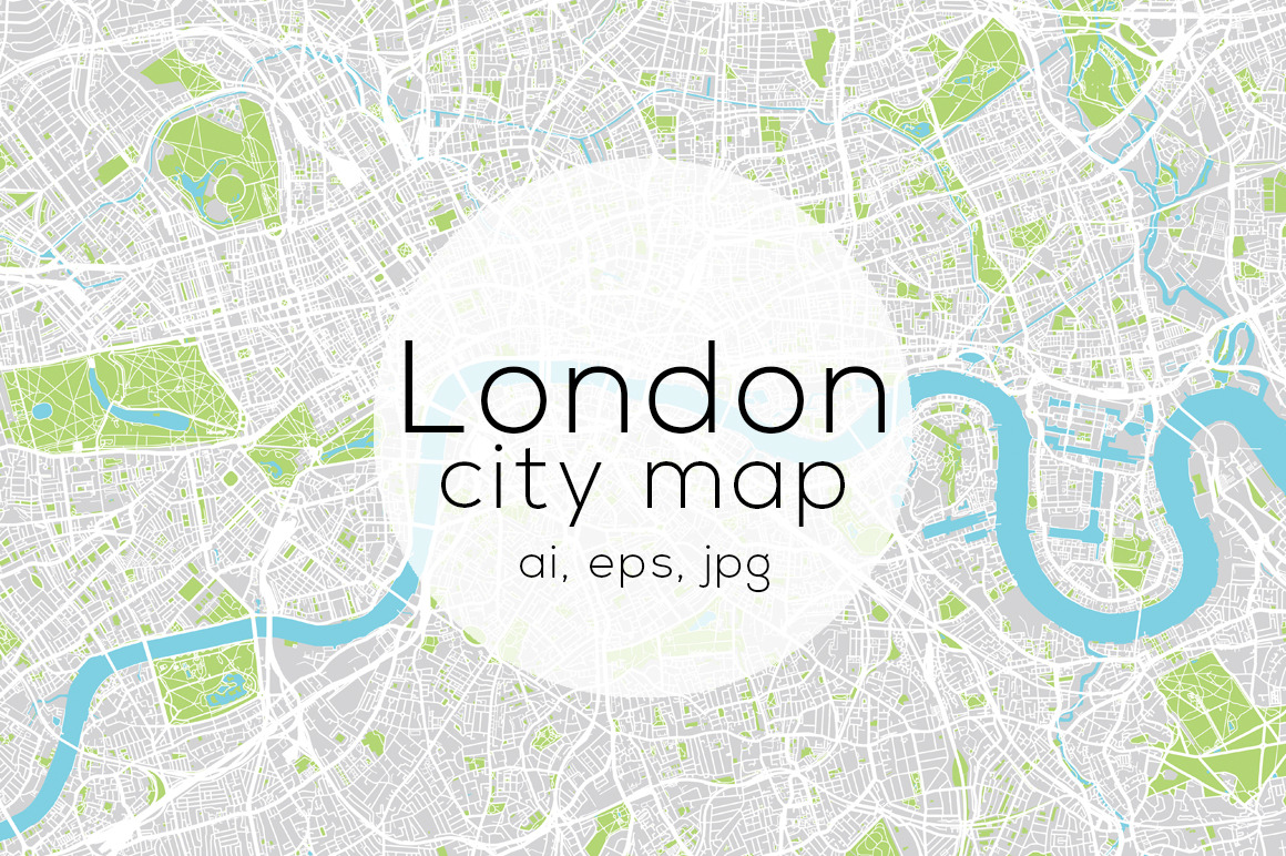
London city map
Highly detailed London city map illustration showing residential areas, Water, Parks and transport networks.
Included in the download:
- Illustrator Ai file
- Illustrator EPS10 file
- High resolution JPG file
Highly detailed London city map illustration showing residential areas, Water, Parks and transport networks.
Included in the download:
- Illustrator Ai file
- Illustrator EPS10 file
- High resolution JPG file
| Compatible with: | Adobe Illustrator |
| File Type: | JPG, EPS, AI |
| File Size: | 25.85 MB |