USA vector maps
in Graphics / Illustrations
DOWNLOAD NOW Report
174
0
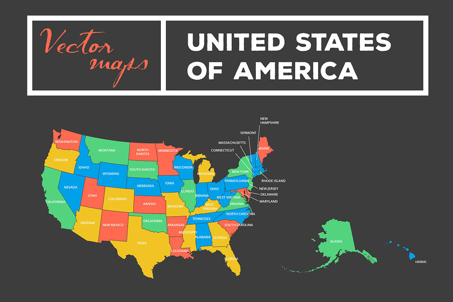
This is a listing for a **FULLY EDITABLE VECTOR MAP of USA**.
It includes multiple versions and colors.
Please note that Alaska is not proportionally sized to other states due to presentational purposes, because it is really huge. If your project requires a realistic presentation of its size please refer to Google Maps and resize it!
**VERSIONS INCLUDE:** (see in the product preview image)
- illustration with state names
- illustration without state names on the illustration
- version with separated states easy to edit color for each
- version with all states together where you can edit the border line color between states
- version with all states separated
Maps are created in Adobe Illustrator and **you will receive**:
- .ai CC version
- .ai CS4 version
- .ai CS5 version
- .ai CS6 version
- Open Sans font
**You can easily change sizes and colors.** Add textures and your own content.
But it will require basic knowledge of Adobe Illustrator.
GRAB THIS AWESOME vector USA maps SET, and use it in your print or web projects!
If you have any questions let me know, Ivana
| Compatible with: | Adobe Illustrator |
| File Type: | TTF, AI |
| File Size: | 10.07 MB |
| DPI: | 300 |


