Contour Mapping II - North America
DOWNLOAD NOW Report
183
3
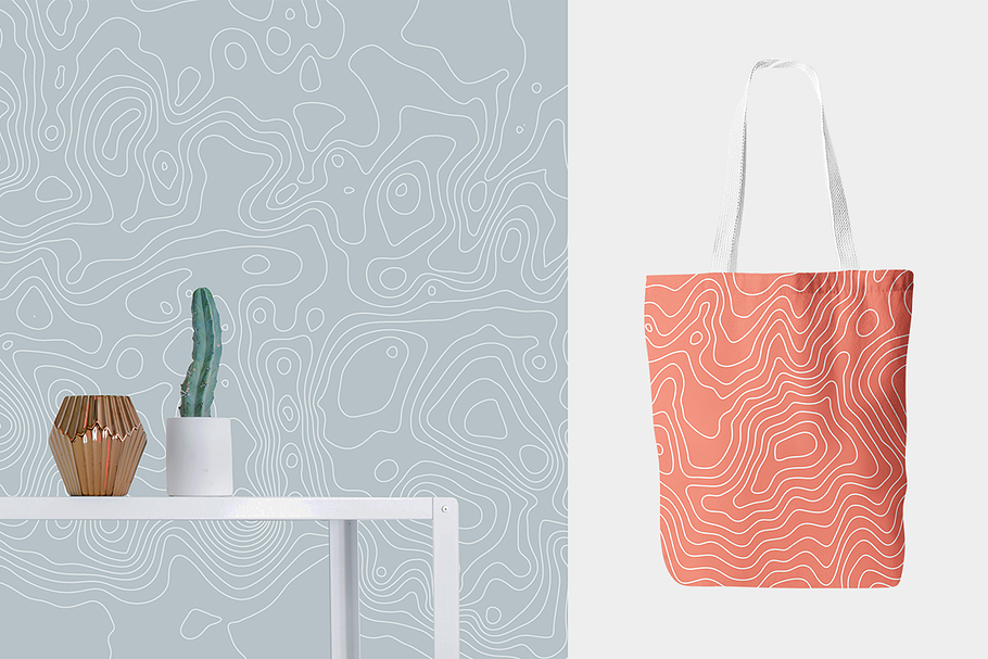
Contour Mapping II is a follow up to the Contour Mapping pack. In this collection the designs are created from topographic maps of the peaks and mountains of North America.
Contour maps of Blanca Peak, Grand Teton, Humphrey's Peak, Mount Elbert, Mount Logan, Mount Rainier, Mount Robson, Mount Shasta, Mount Whitney and Wheeler Peak are featured.
The map designs are in black and white and color and letter and poster-sized versions are included. Maps with elevation details and without are available. Gold foil and rose gold contour maps with transparent backgrounds are included for use as overlays within creative projects. Seamless map patterns in black and white and color are also featured.
Use these designs for packaging, invitations, cards, gift wrap, wallpaper, notebook and book covers, social media banners, blog headers, Instagram posts, flyers, posters, fabric prints, art prints, stationery, collage, photo layering and masking, within typographic designs, etc.
The designs in the pack include vector AI and EPS files plus high-resolution JPG and PNGs files. The artwork is sized 8.5x11, 12x18, 16x24, 24x24 and up.
---
If you like Contour Mapping II, you may also like:
**Contour Mapping** https://creativemarket.com/hellomart/380939-20-Off-Contour-Mapping-Bundle
**Star Lines** https://creativemarket.com/hellomart/1590446-Star-Lines
**Network** http://creativemarket.com/hellomart/1371105-Network
---
Custom designs are available by request. If you have any questions or would like printer recommendations, just send us a message or email [email protected].
| Compatible with: | Adobe Photoshop, Adobe Illustrator, Adobe InDesign, Adobe Photoshop Elements, Sketch, Adobe XD, Othe |
| File Type: | PNG, JPG, EPS, AI, PDF |
| File Size: | 551.25 MB |
| Dimensions: | 8.5 x 11 in, 12 x 18 in, 18 x 24 in |
| DPI: | 300 |
- Contour map
- Contour mapping
- Vector art
- Topographic map
- North america topography
- Mount shasta
- Rocky mountains
- Mount robson
- Blanca peak
- Grand teton
- Sierra nevada
- Humphreys peak
- Mount elbert
- Mount logan
- Mount rainier
- Mount whitney
- Wheeler peak
- Rock climbing
- Outdoor sports
- Line art
- Gold foil
- Gold foil background
- Rose gold pattern
- Wavt stripes
- Thank you card
- Elegant background
- Digitap paper
- Back to school
- Gift wrap
- United states
- Fourth of july
- North america


