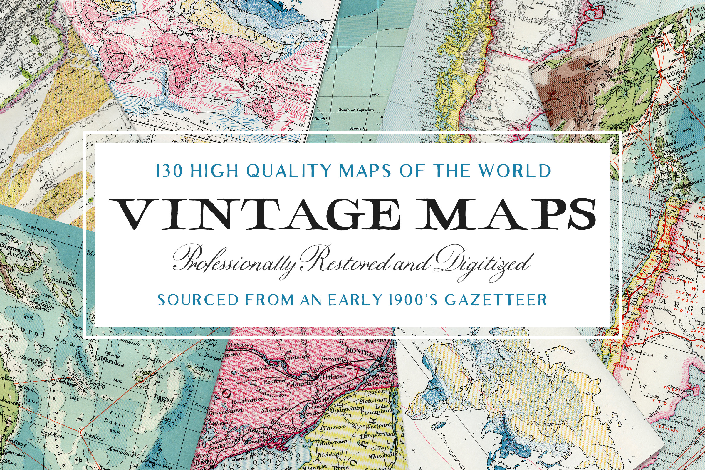
130 Vintage Maps of the World
DOWNLOAD NOW Report
374
3
YOU MAY ALSO LIKE:


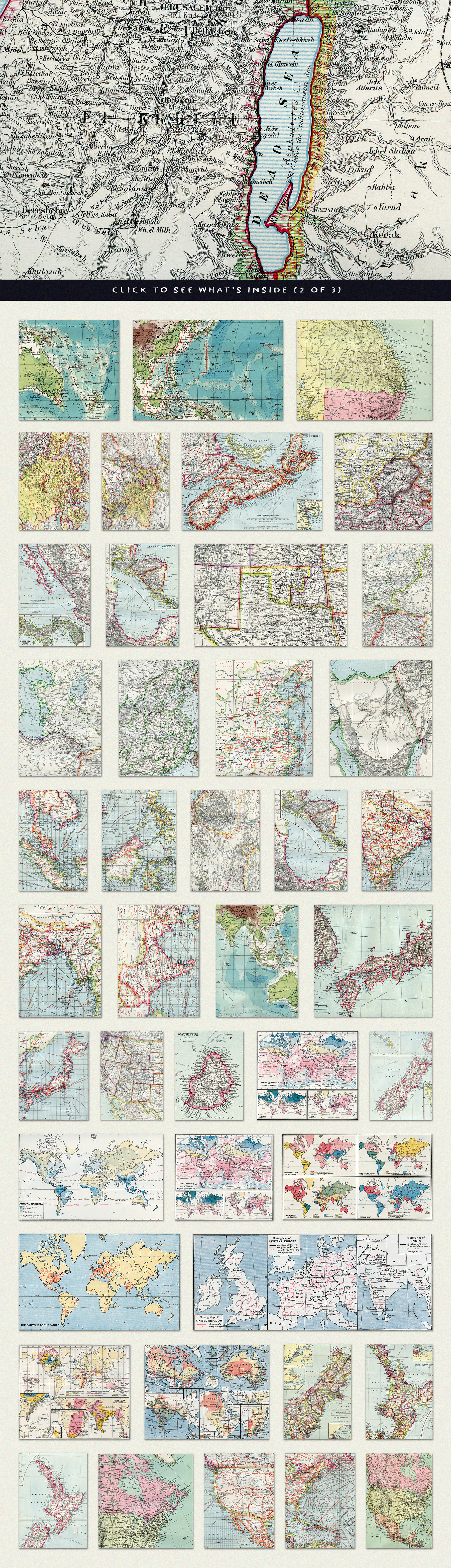
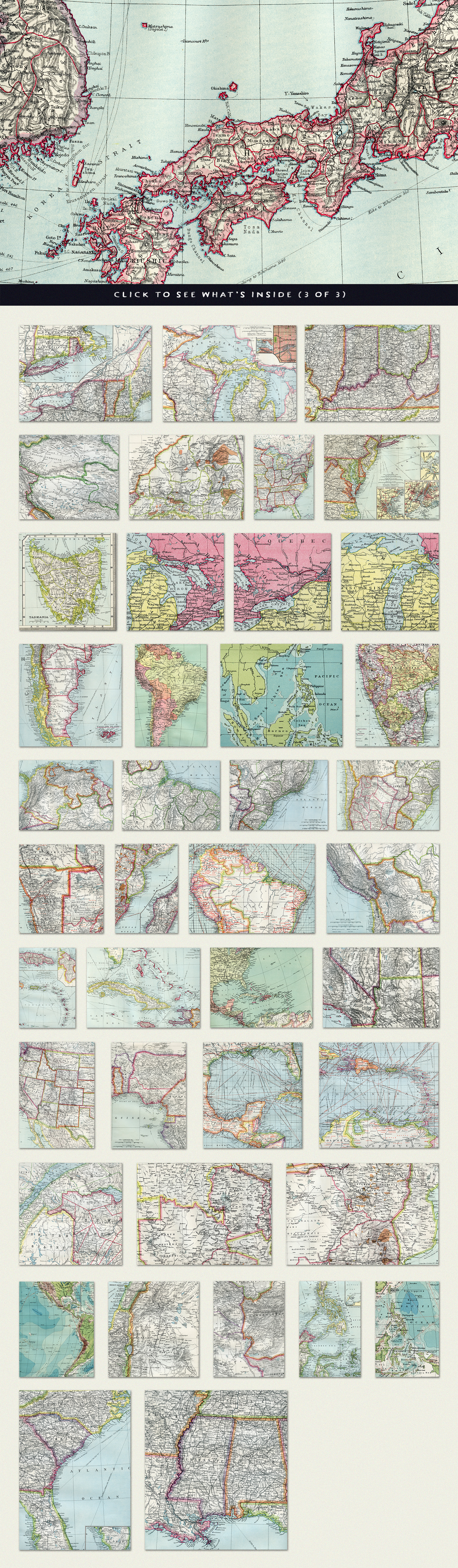
**Introducing the Third and Largest Addition to Our Extensive, High Quality, and Rare Collection of Vintage Maps** - Each image within this wonderful collection of Vintage Maps was sourced from an early 1900's Atlas and Gazetteer that was not only in almost perfect condition, but was quite the giant!
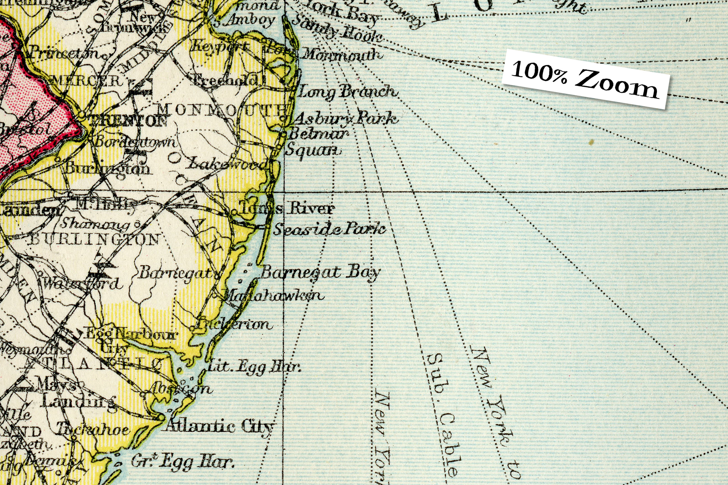
To squeeze in as much detail as possible, we scanned each map at 1200dpi (around 4 minutes per scan!). Worth the wait! Just check out the 100% zoom, the quality of came through amazingly.
The Areas Covered; Africa, Argentina, Asia, Russia, Australia, Bengal Provinces, Borneo, British Isles, Burma, Canada, Africa, America, China, The Dead Sea, The Indies, Mexico, India, Japan, Malay Peninsula, Manchuria, New Zealand, Pacific Ocean, Palestine, Persia, Philippine, Quebec, Rhodesia, Tasmania, Tibet, and more.
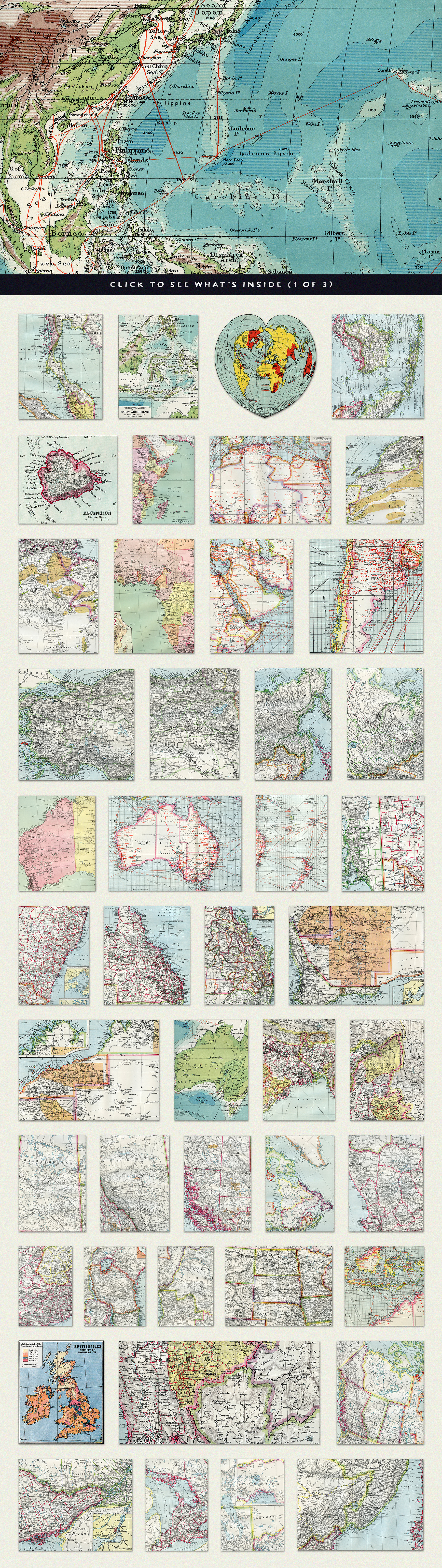
**What's Inside?**
- 130 Super-High Resolution Vintage Map Scans
- JPEG Format
- Average 10,000px (@300dpi) on Longest Side
If you have any questions, please do not hesitate to send us a message and either Myself (Tom) or Abbie will get back to you as soon possible!
**Please Note** Due to the images being so large (and the fact that there are 130 of them), the collection has been split into 6 volumes. This purchase will provide you access to a .TXT document that includes all of the instant download links to each volume.
---
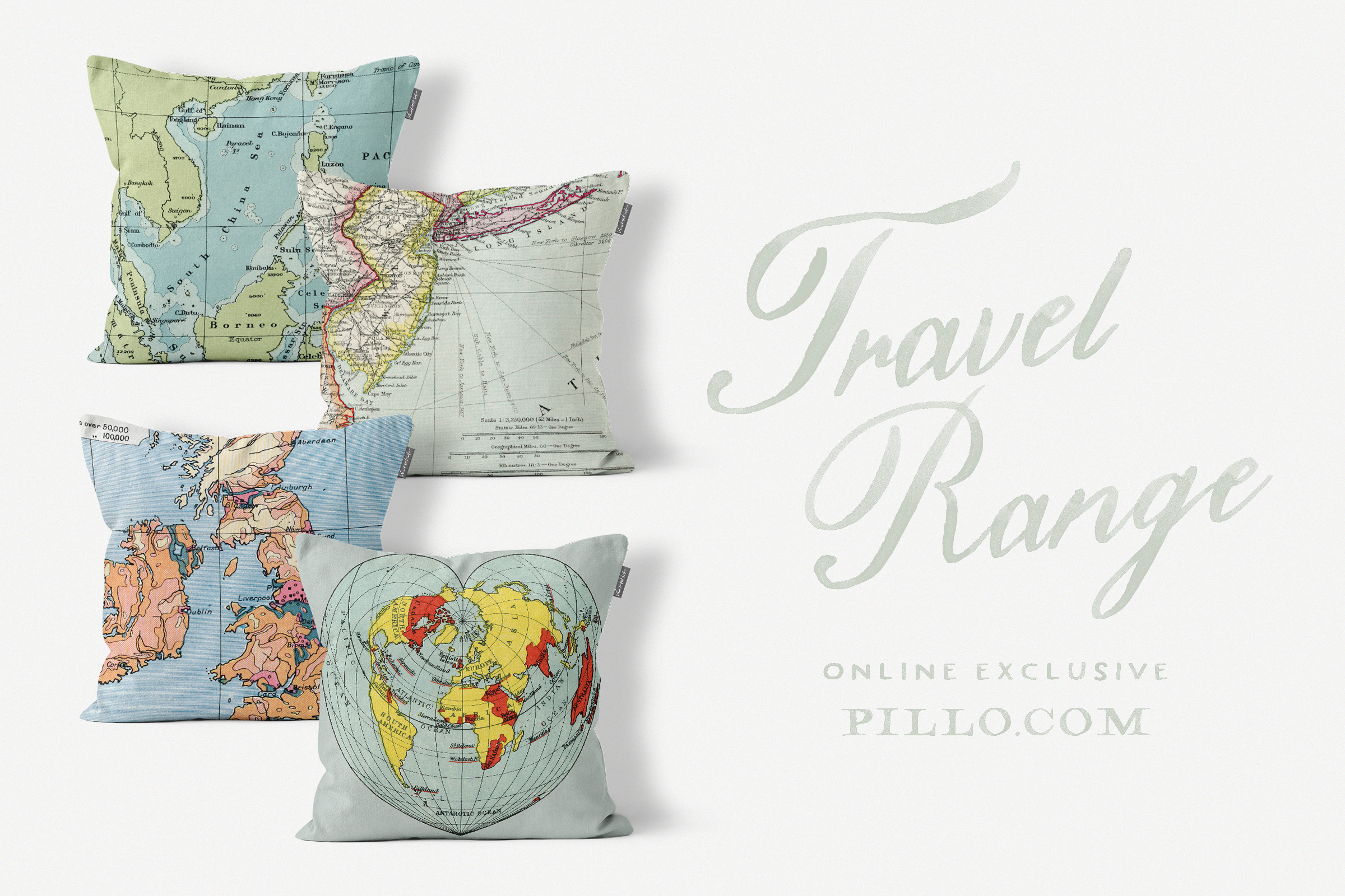
**Check out our other Vintage Map Volumes** here https://crmrkt.com/zqEQlo and here https://crmrkt.com/431GxV
To squeeze in as much detail as possible, we scanned each map at 1200dpi (around 4 minutes per scan!). Worth the wait! Just check out the 100% zoom, the quality of came through amazingly.
The Areas Covered; Africa, Argentina, Asia, Russia, Australia, Bengal Provinces, Borneo, British Isles, Burma, Canada, Africa, America, China, The Dead Sea, The Indies, Mexico, India, Japan, Malay Peninsula, Manchuria, New Zealand, Pacific Ocean, Palestine, Persia, Philippine, Quebec, Rhodesia, Tasmania, Tibet, and more.
**What's Inside?**
- 130 Super-High Resolution Vintage Map Scans
- JPEG Format
- Average 10,000px (@300dpi) on Longest Side
If you have any questions, please do not hesitate to send us a message and either Myself (Tom) or Abbie will get back to you as soon possible!
**Please Note** Due to the images being so large (and the fact that there are 130 of them), the collection has been split into 6 volumes. This purchase will provide you access to a .TXT document that includes all of the instant download links to each volume.
---
**Check out our other Vintage Map Volumes** here https://crmrkt.com/zqEQlo and here https://crmrkt.com/431GxV
| Compatible with: | Adobe Photoshop, Adobe Illustrator, Adobe InDesign, Adobe Photoshop Elements, Sketch, Adobe XD, Othe |
| File Size: | 633 B |
| DPI: | 300 |