USA maps
in Graphics / Illustrations
DOWNLOAD NOW Report
160
0
YOU MAY ALSO LIKE:


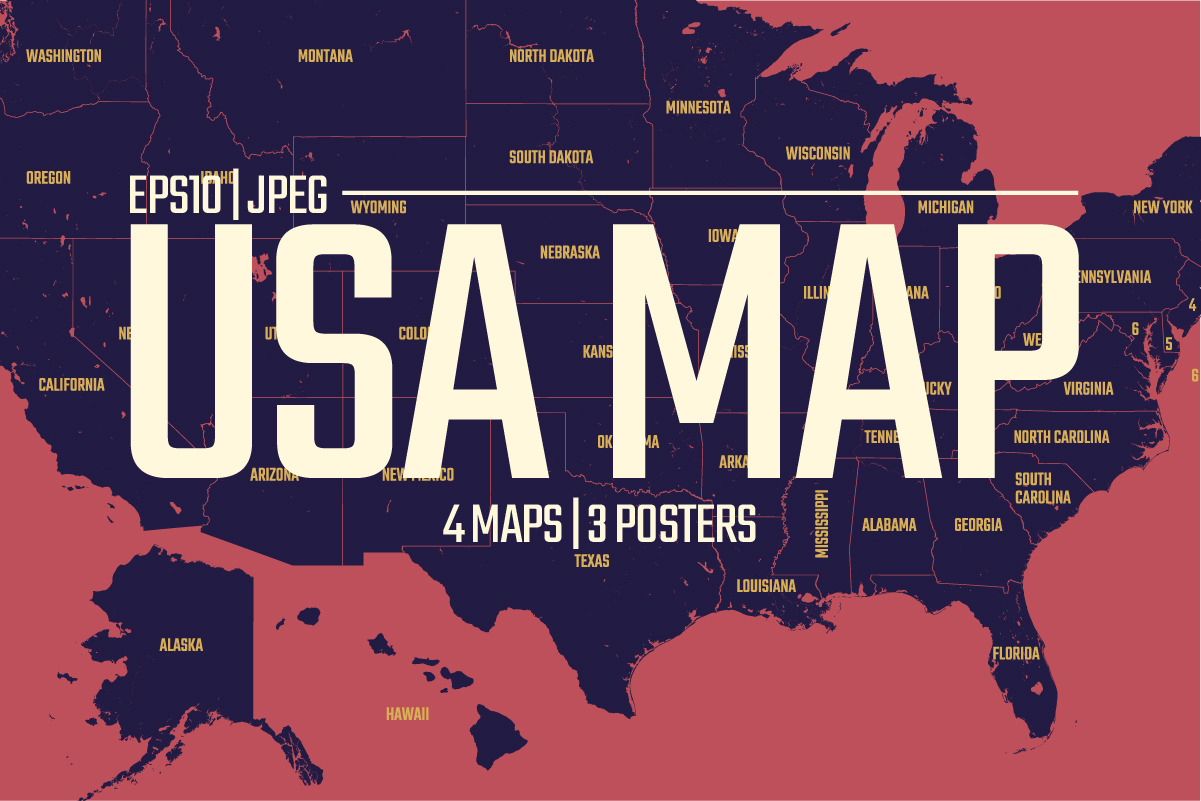
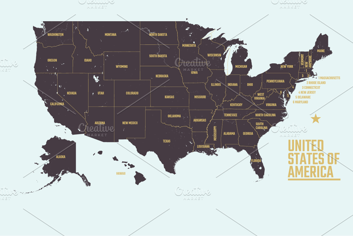
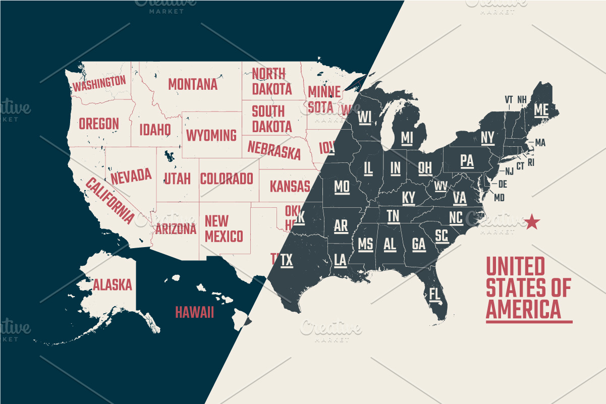
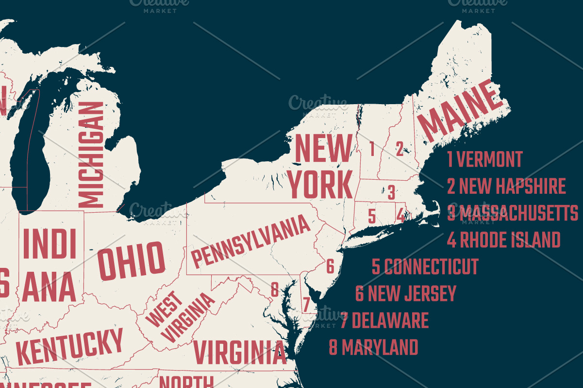
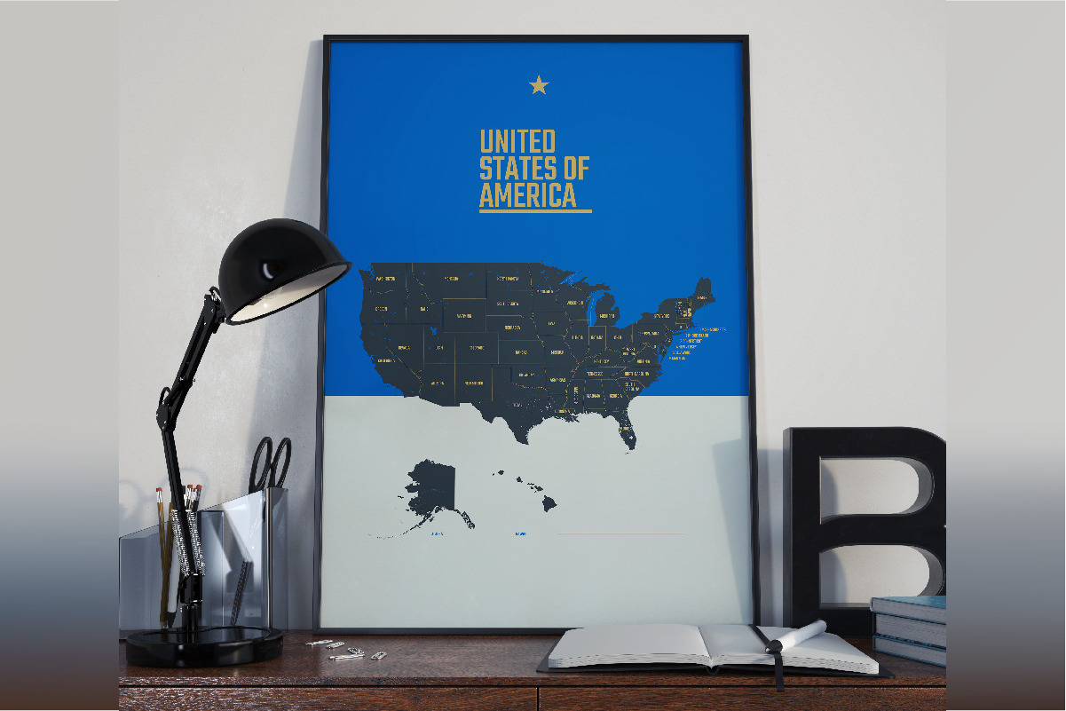
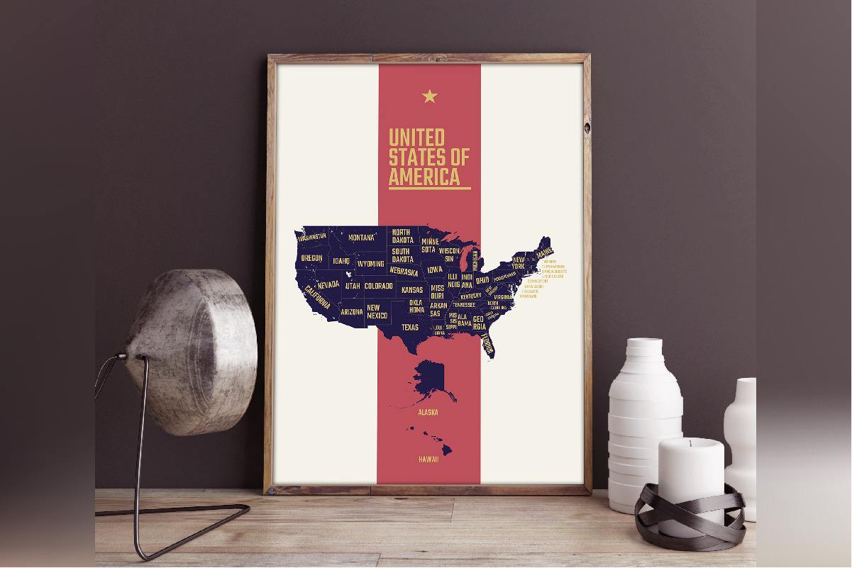
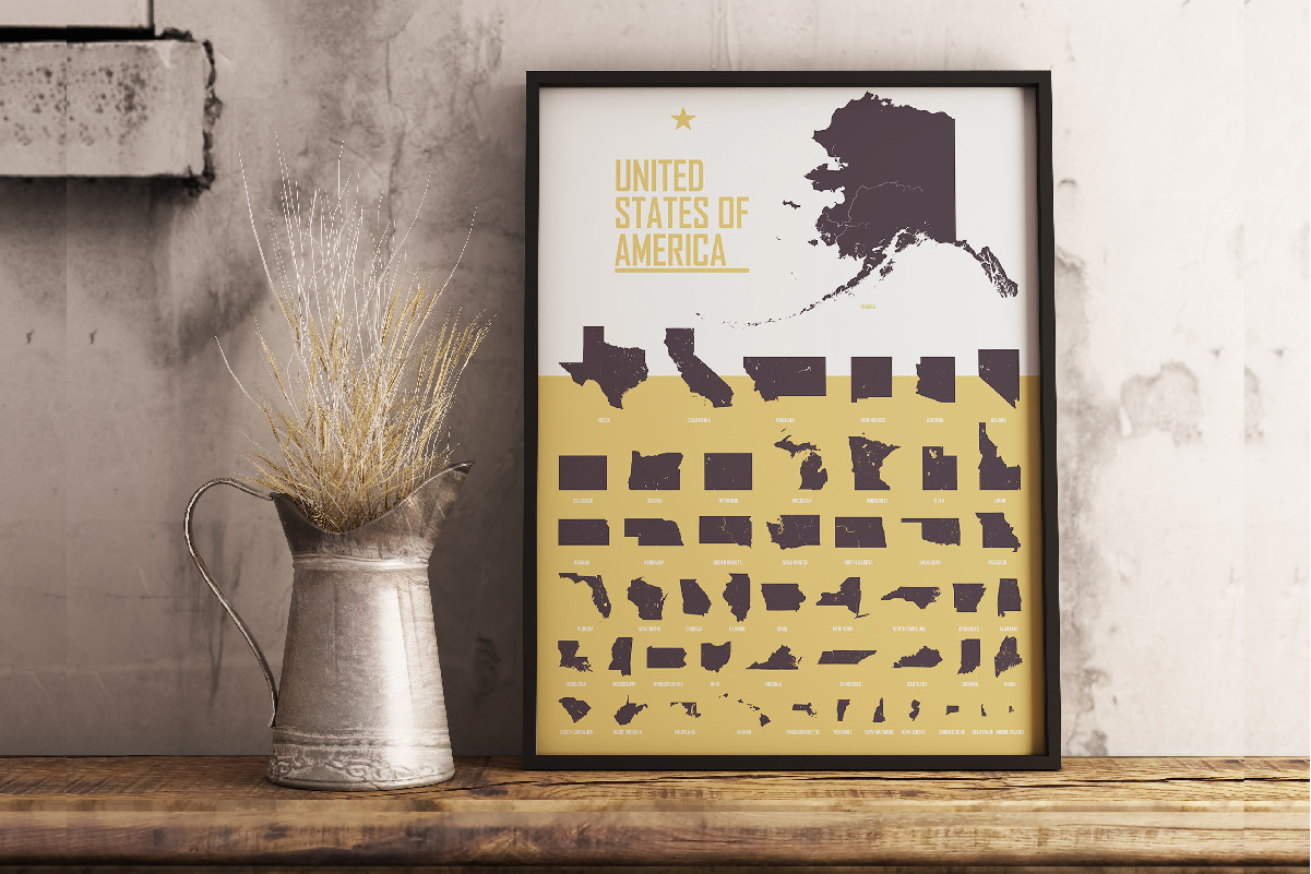
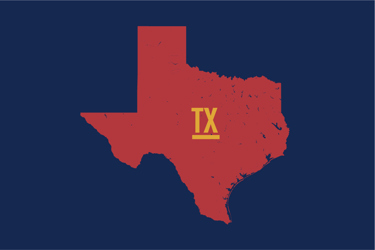
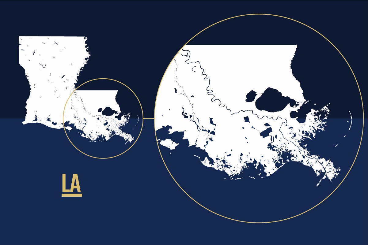
**Detailed USA map | Vector illustration | Editable text**
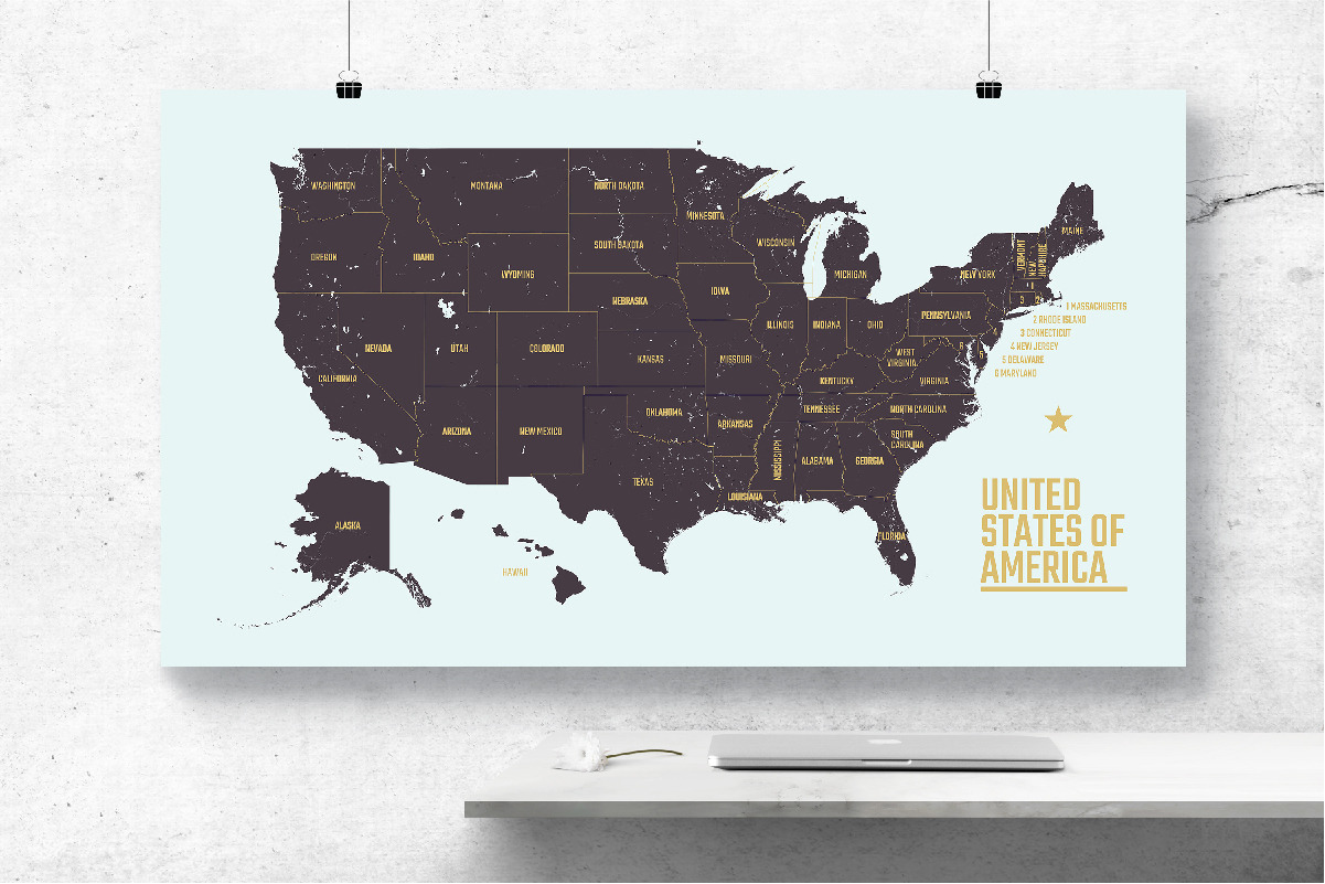
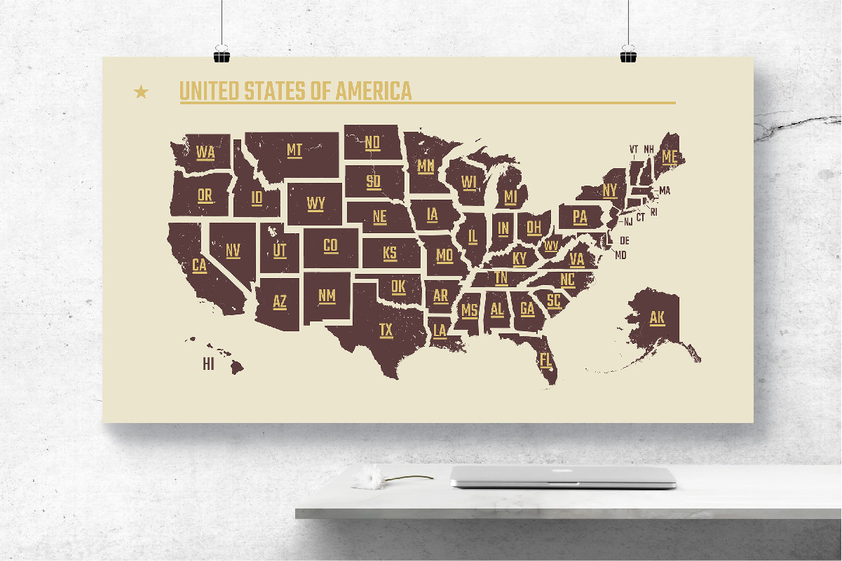
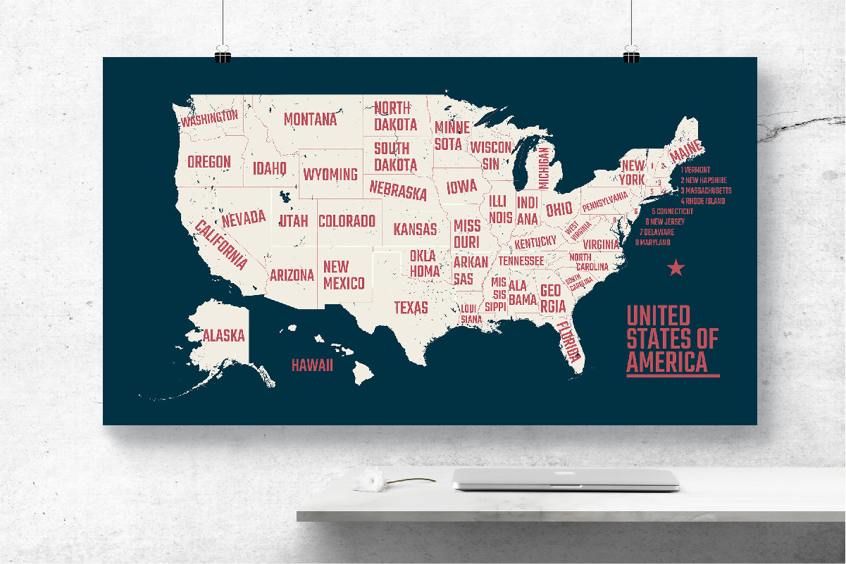
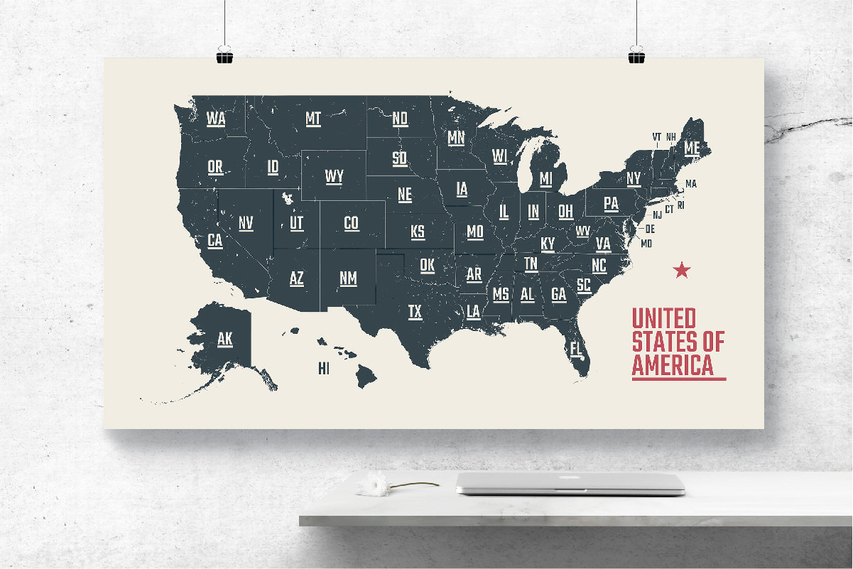
This pack contains high quality vector high detail maps of USA. Full map with state borders. 4 different maps with state names + 3 posters. Text is easy to edit and included in the package.
File includes:
- 5 Vector EPS10 file
- 7 JPEG (hi-res 8889х5000px 300 DPI)
- Font Teco (ttf, Open Font License)
**Please note: mockups are not included.**
- **States maps of USA | set 1: https://crmrkt.com/A9rJzG**
- **States maps of USA | set 2: https://crmrkt.com/dy7kAd**
- **States maps of USA | set 3: https://crmrkt.com/Qdw3ep**
- ** 50 U.S. States + Detailed USA map: https://crmrkt.com/g3Q3o2**
- **U.S. State Maps | Poster set 1: https://crmrkt.com/dyE8Rg**
- **U.S. State Maps | Poster set 2: https://crmrkt.com/ooEJAK**
- **Map of North America: https://crmrkt.com/43o7l**
- **5 maps of USA cities: https://crmrkt.com/8VxGVR**
- **5 maps of USA cities set 2: https://crmrkt.com/lO3j8B**
- **10 US Skyline: http://crtv.mk/f0k0x**
- **City skyline North America: https://crmrkt.com/yOPyjK**
---
Thanks so much for visiting my shop! Have а nice day
| Compatible with: | Adobe Illustrator |
| File Type: | JPG, EPS, TTF |
| File Size: | 198.09 MB |
| Dimensions: | 8889 x 5000 px |
| DPI: | 300 |