


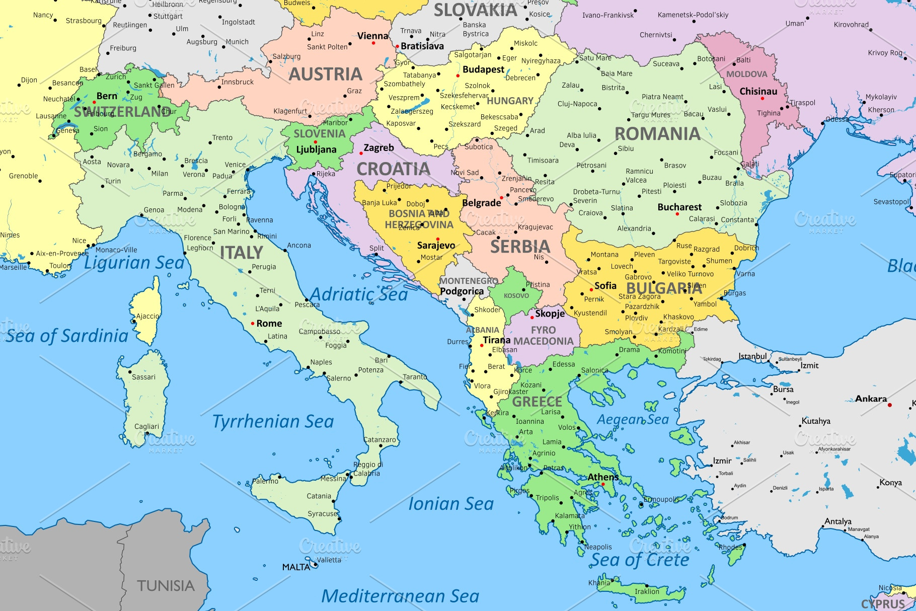
Europe political map
in Graphics
DOWNLOAD NOW Report
151
1
YOU MAY ALSO LIKE:


High detail color vector atlas with capitals, cities, towns names, seas, rivers and lakes | High resolution map of Europe in Mercator projection | EPS, SVG, XAR (Xara) and JPG files
| Compatible with: | Adobe Illustrator, Other |
| File Type: | EPS, SVG, JPG |
| File Size: | 16.78 MB |