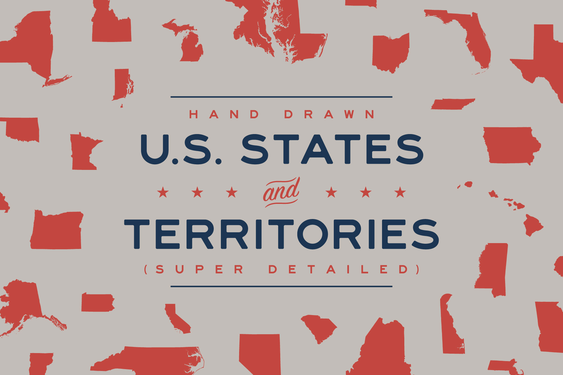

Hand Drawn U.S. States & Territories
in Graphics
DOWNLOAD NOW Report
163
1
YOU MAY ALSO LIKE:


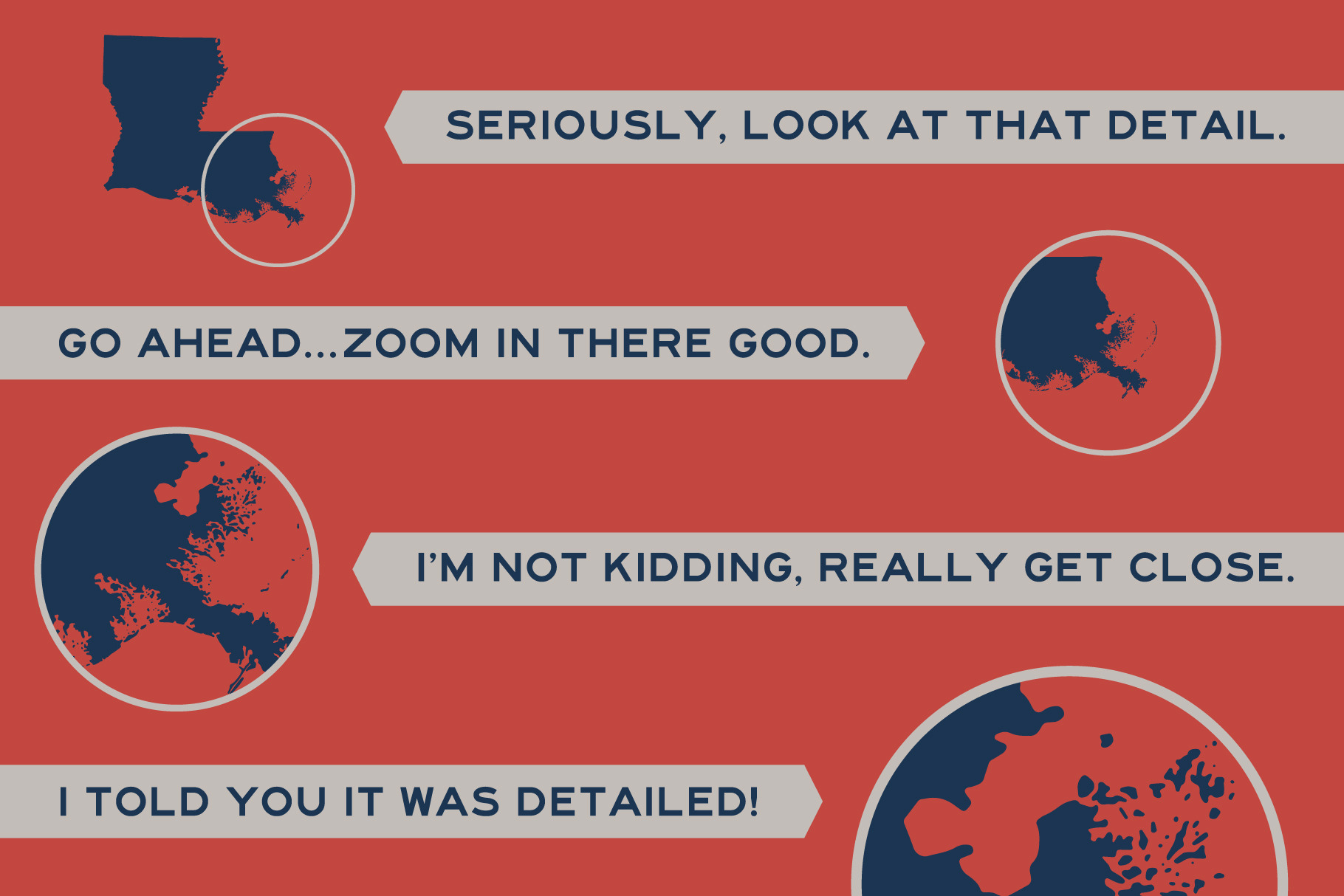
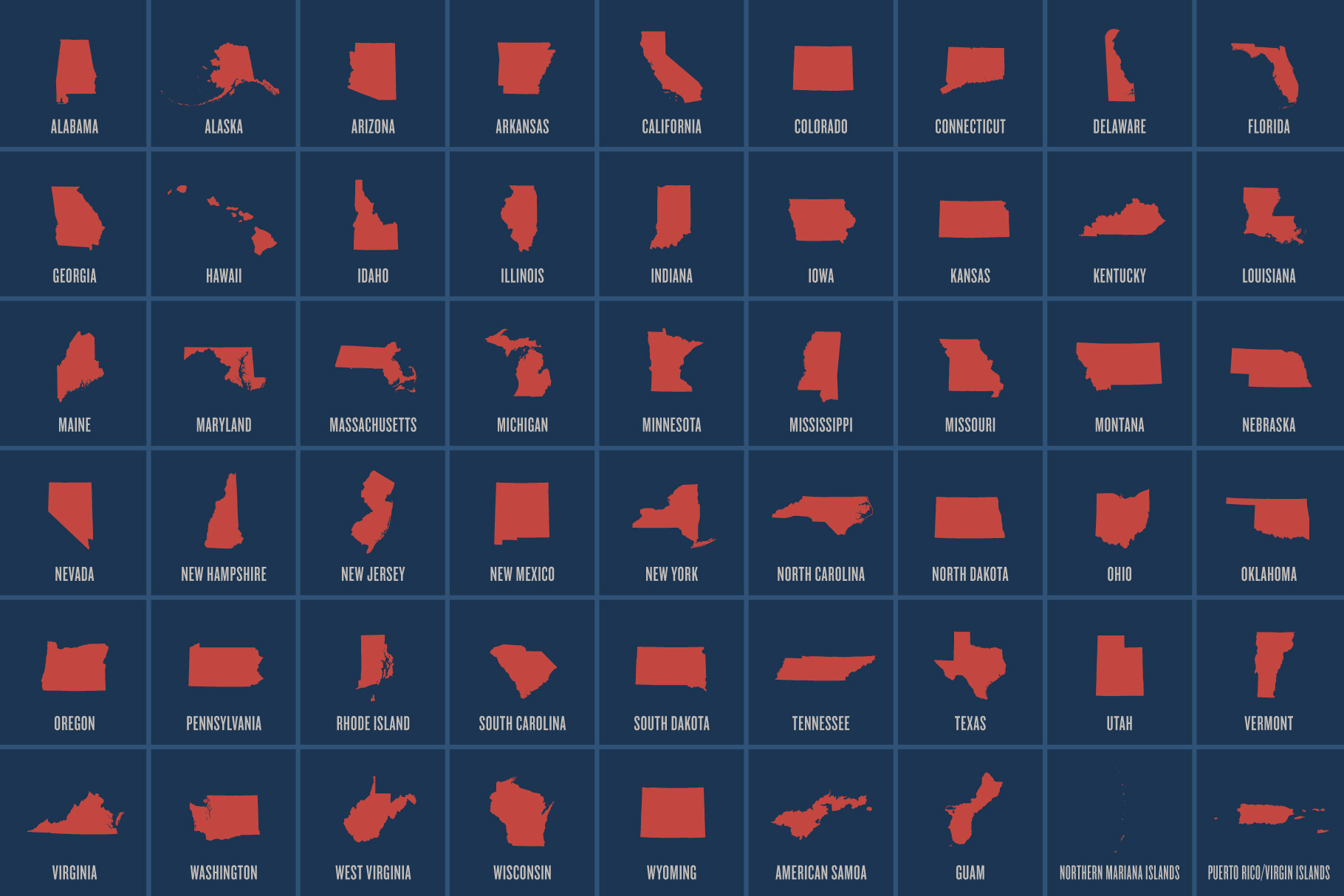
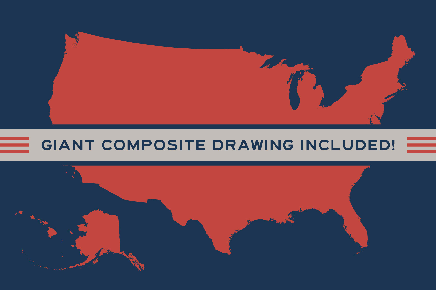
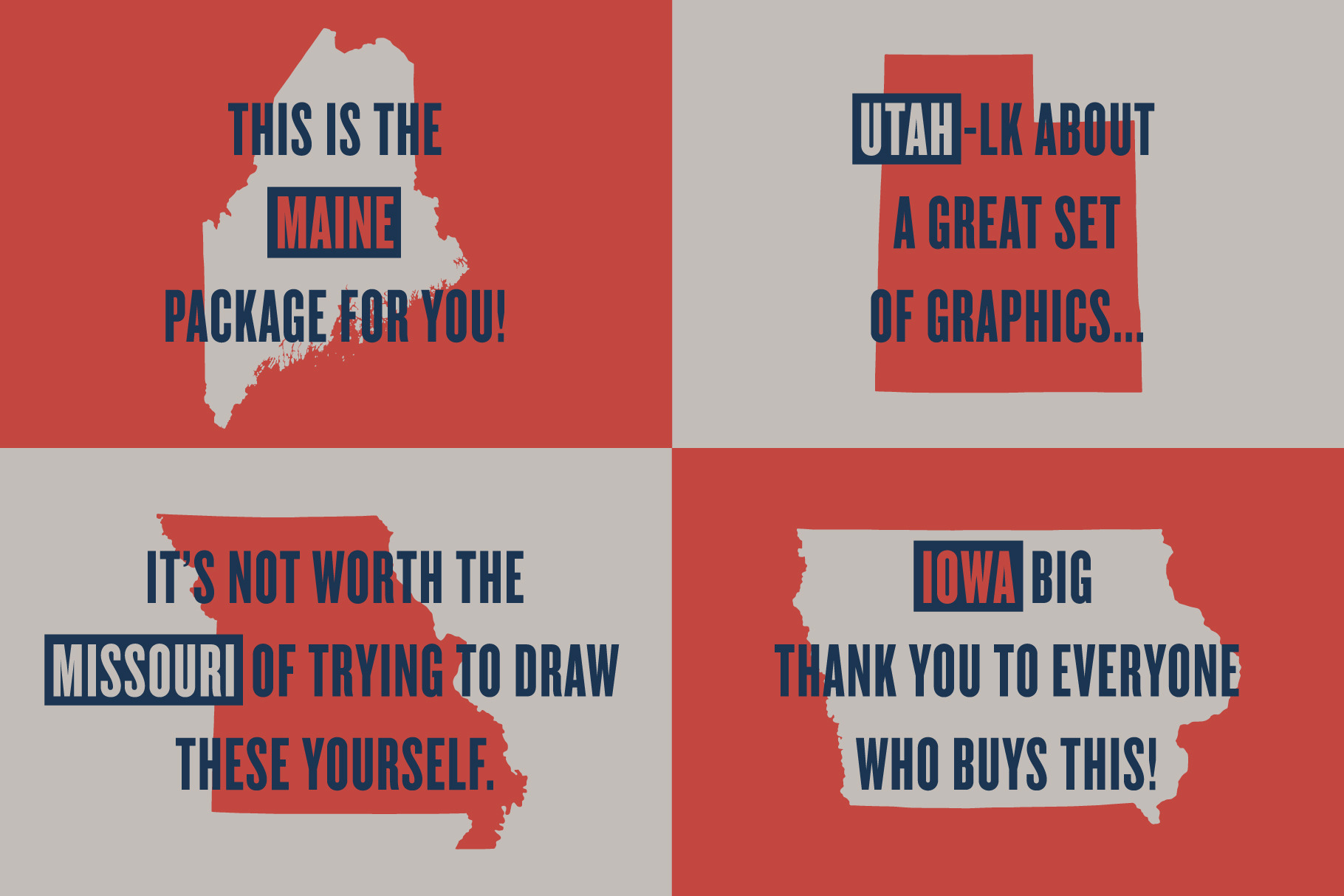
Here it is, the complete set of hand drawn U.S. states and territories, rendered in a borderline regrettable amount of detail (these took me a long time to draw). Why would I hand draw these, you ask? Because I care! There's something nice about the handmade element of something like this versus simply downloading a stale version of silhouettes that have no character, no love. Really though, I spared no detail here as every dang inch of border and coastline was drawn with an equal amount of purpose. I should point out that these were each drawn so that the smallest states are just as detailed as the bigger states because I zoomed in more. Oh, and none of that autotrace nonsense that looks all jagged and junky, just good old fashioned drawing. Includes all 50 states individually, a composite of the entire U-S-of-A, and the territories of American Samoa, Guam, the U.S. Virgin Islands, the Northern Mariana Islands, and Puerto Rico. Enjoy as both .png and vectorized .eps files!
| Compatible with: | Adobe Photoshop, Adobe Illustrator, Adobe InDesign |
| File Type: | PNG, EPS |
| File Size: | 11.42 MB |