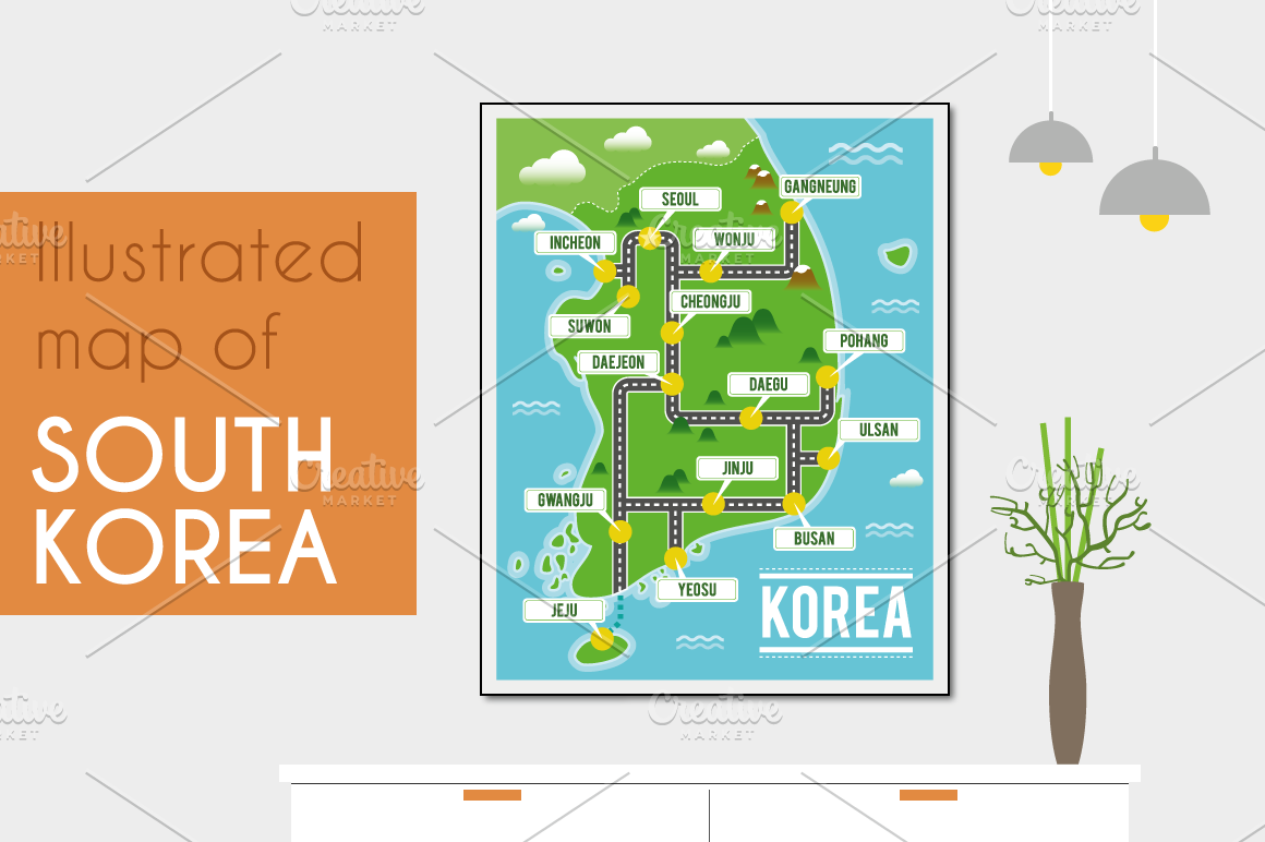
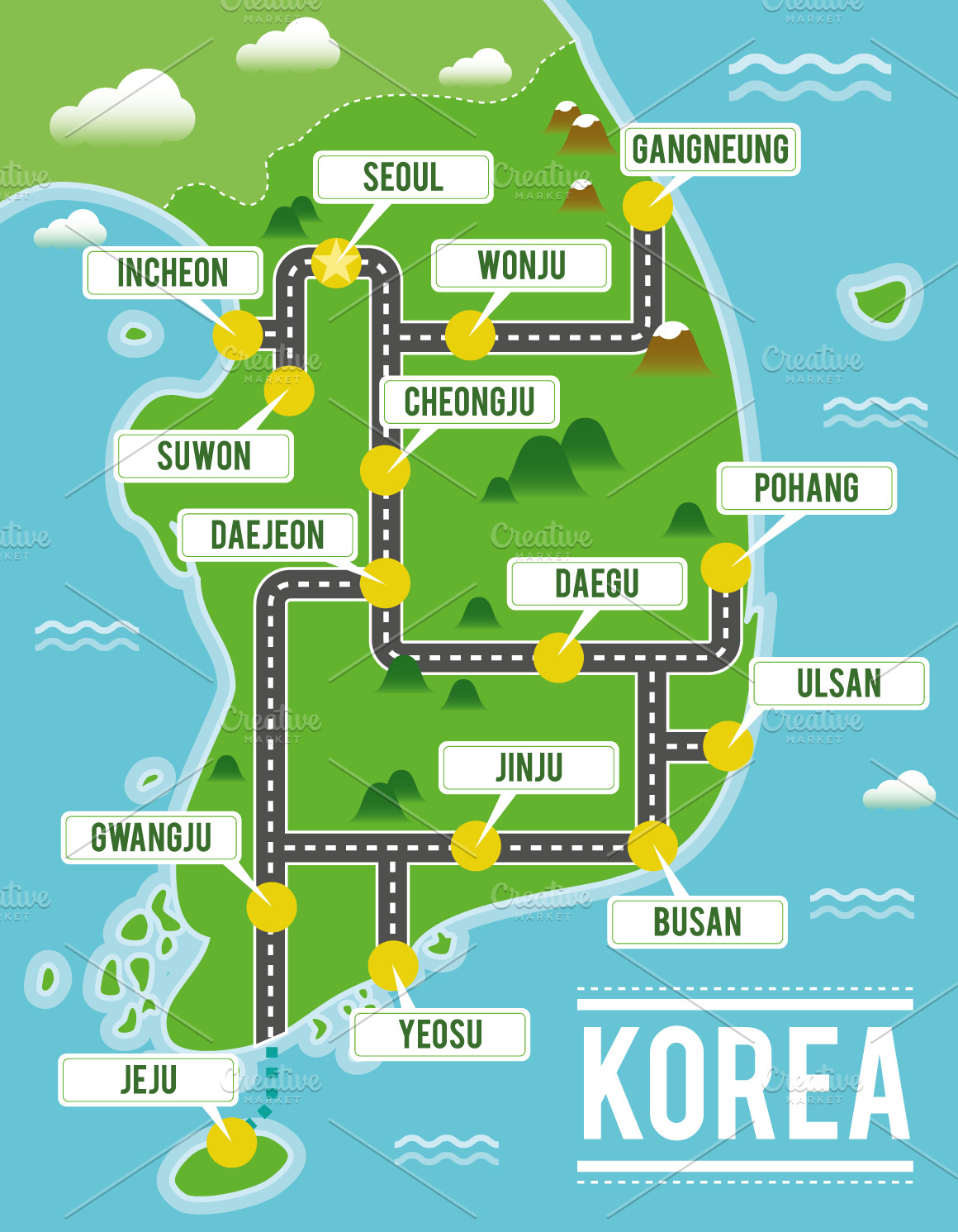
Illustrated map of South Korea
in Graphics / Illustrations
DOWNLOAD NOW Report
132
1
YOU MAY ALSO LIKE:


Cartoon vector map of South Korea. Travel illustration with south korean main cities. Perfect for decoration, educational porpouses or for illustrate a magazine or similar.
Very easy to work and infinitely scalable, because it's all in vector shapes.
The pack comes with EPS 10 compatible and editable and AI10 files, which you can edit and use for any purpose. All the elements are vectors and they are separated in groups and layers for easy editing in Illustrator or similar software.
**The file includes:**
- AI10
- EPS10
- JPG HI Res (4200 x 5400) (like the one in the preview)
**More illustrated maps of this series available in my shop: **
- United Kingdom: https://creativemarket.com/asantosg/3514753-Illustrated-map-of-United-Kingdom
- France: https://creativemarket.com/asantosg/3513750-Illustrated-map-of-France
- India: https://creativemarket.com/asantosg/3514715-Illustrated-map-of-India
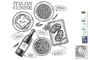
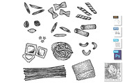
- Italy: https://creativemarket.com/asantosg/3514732-Illustrated-map-of-Italy
- Japan: https://creativemarket.com/asantosg/3514737-Illustrated-map-of-Japan
- Spain: https://creativemarket.com/asantosg/3514748-Illustrated-map-of-Spain
- Thailand: https://creativemarket.com/asantosg/3514752-Illustrated-map-of-Thailand
- United States: https://creativemarket.com/asantosg/3514755-Illustrated-map-of-USA
I hope you enjoy these articles!!
Very easy to work and infinitely scalable, because it's all in vector shapes.
The pack comes with EPS 10 compatible and editable and AI10 files, which you can edit and use for any purpose. All the elements are vectors and they are separated in groups and layers for easy editing in Illustrator or similar software.
**The file includes:**
- AI10
- EPS10
- JPG HI Res (4200 x 5400) (like the one in the preview)
**More illustrated maps of this series available in my shop: **
- United Kingdom: https://creativemarket.com/asantosg/3514753-Illustrated-map-of-United-Kingdom
- France: https://creativemarket.com/asantosg/3513750-Illustrated-map-of-France
- India: https://creativemarket.com/asantosg/3514715-Illustrated-map-of-India
- Italy: https://creativemarket.com/asantosg/3514732-Illustrated-map-of-Italy
- Japan: https://creativemarket.com/asantosg/3514737-Illustrated-map-of-Japan
- Spain: https://creativemarket.com/asantosg/3514748-Illustrated-map-of-Spain
- Thailand: https://creativemarket.com/asantosg/3514752-Illustrated-map-of-Thailand
- United States: https://creativemarket.com/asantosg/3514755-Illustrated-map-of-USA
I hope you enjoy these articles!!
| Compatible with: | Adobe Illustrator, Other |
| File Type: | JPG, EPS, AI |
| File Size: | 5.2 MB |